2017
NJ7800 : Burnside junction
taken 7 years ago, near to Hardgate, Aberdeenshire, Scotland
This is 1 of 3 images, with title starting with Burnside in this square
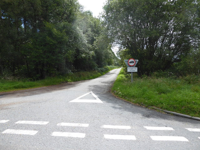
Burnside junction
Looking down a minor road to Drum; with Forest of Drum to its left. Limited access to goods vehicles >7.5T.
 Map © Crown Copyright")
TIP: Click the map for more Large scale mapping
- Grid Square
- NJ7800, 35 images (more nearby 🔍)
- Photographer
- Stanley Howe (more nearby)
- Date Taken
- Thursday, 3 August, 2017 (more nearby)
- Submitted
- Friday, 4 August, 2017
- Subject Location
-
OSGB36:
 NJ 7858 0085 [10m precision]
WGS84: 57:5.8875N 2:21.3096W - Camera Location
-
OSGB36: NJ 7854 0094
- View Direction
- South-southeast (about 157 degrees)