2017
TR0039 : 5, Church Hill
taken 7 years ago, near to Kingsnorth, Kent, England
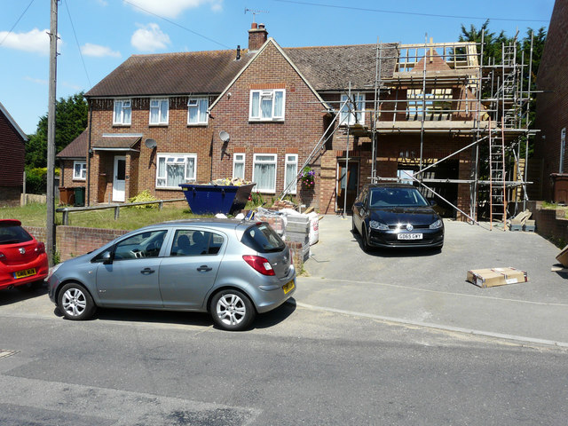
5, Church Hill
Planning permission was granted by Ashford Borough Council under application number 15/00690/AS for the demolition of existing single storey side extension and erection of two storey side extension including integral garage.
 Map © Crown Copyright")
TIP: Click the map for more Large scale mapping
- Grid Square
- TR0039, 65 images (more nearby 🔍)
- Photographer
- John Baker (more nearby)
- Date Taken
- Sunday, 9 July, 2017 (more nearby)
- Submitted
- Friday, 4 August, 2017
- Subject Location
-
OSGB36:
 TR 0046 3935 [10m precision]
WGS84: 51:7.1017N 0:51.7725E - Camera Location
-
OSGB36: TR 0044 3934
- View Direction
- Northeast (about 45 degrees)