2017
NO4609 : Farm track at Radernie
taken 7 years ago, near to Radernie, Fife, Scotland
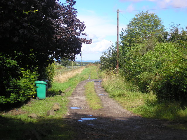
Farm track at Radernie
The start of the Radernie to Cameron footpath.
 Map © Crown Copyright")
TIP: Click the map for more Large scale mapping
- Grid Square
- NO4609, 15 images (more nearby 🔍)
- Photographer
- Sandy Gemmill (more nearby)
- Date Taken
- Thursday, 3 August, 2017 (more nearby)
- Submitted
- Saturday, 5 August, 2017
- Subject Location
-
OSGB36:
 NO 46585 09663 [1m precision]
WGS84: 56:16.5850N 2:51.8518W - Camera Location
-
OSGB36: NO 46572 09644
- View Direction
- Northeast (about 45 degrees)