2017
NS6826 : Garpel Water
taken 7 years ago, near to Smallburn, East Ayrshire, Scotland
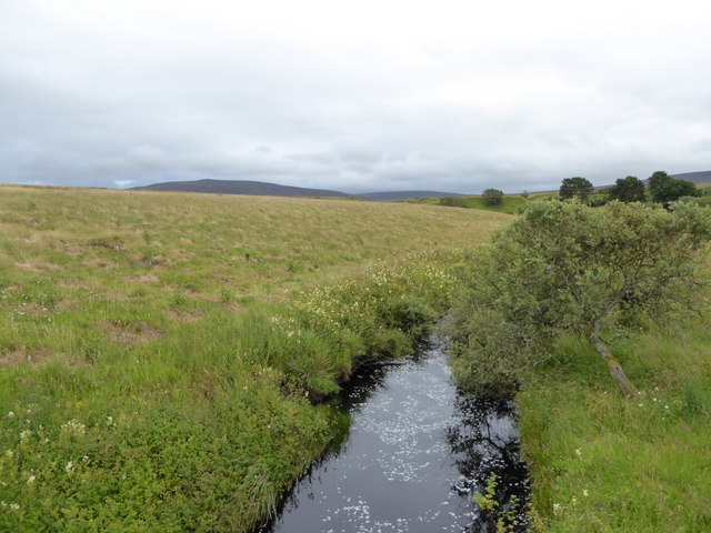
Garpel Water
A tributary of the River Ayr.
 Map © Crown Copyright")
TIP: Click the map for more Large scale mapping
- Grid Square
- NS6826, 67 images (more nearby 🔍)
- Photographer
- Alan O'Dowd (more nearby)
- Date Taken
- Thursday, 3 August, 2017 (more nearby)
- Submitted
- Sunday, 6 August, 2017
- Subject Location
-
OSGB36:
 NS 684 260 [100m precision]
WGS84: 55:30.6319N 4:5.0802W - Camera Location
-
OSGB36: NS 684 260
- View Direction
- South-southeast (about 157 degrees)