2017
NH5984 : Wet ground below Cnoc Thorcaill
taken 7 years ago, 5 km SSW of Upper Ardchronie, Highland, Scotland
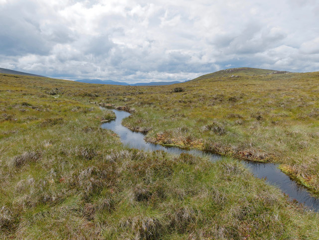
Wet ground below Cnoc Thorcaill
A boggy area but it is good when the streams are visible.
 Map © Crown Copyright")
TIP: Click the map for more Large scale mapping
- Grid Square
- NH5984, 2 images (more nearby 🔍)
- Photographer
- Julian Paren (more nearby)
- Date Taken
- Sunday, 6 August, 2017 (more nearby)
- Submitted
- Monday, 7 August, 2017
- Subject Location
-
OSGB36:
 NH 5965 8405 [10m precision]
WGS84: 57:49.4359N 4:21.8834W - Camera Location
-
OSGB36: NH 59652 84059
- View Direction
- East-northeast (about 67 degrees)