2017
TQ0804 : Sheep Lands
taken 7 years ago, near to Clapham, West Sussex, England
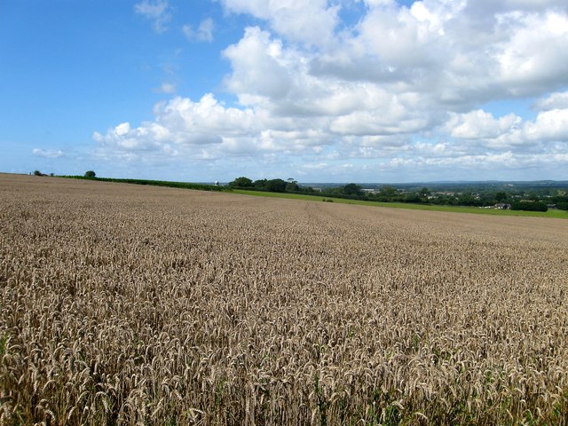
Sheep Lands
The name of the field according to Angmering's 1839 tithe map that is located to the west of TQ0804 : The Eleven Acres/The Old Grattan/Newfoundland Field with the top of TQ0804 : Ecclesden Mill just visible to the left.
 Map © Crown Copyright")
TIP: Click the map for more Large scale mapping
- Grid Square
- TQ0804, 46 images (more nearby 🔍)
- Photographer
- Simon Carey (more nearby)
- Date Taken
- Sunday, 6 August, 2017 (more nearby)
- Submitted
- Tuesday, 8 August, 2017
- Subject Location
-
OSGB36:
 TQ 0861 0450 [10m precision]
WGS84: 50:49.7914N 0:27.5513W - Camera Location
-
OSGB36: TQ 0883 0450
- View Direction
- WEST (about 270 degrees)