2017
TM1741 : Jetty at the outfall, River Orwell, Ipswich
taken 7 years ago, near to Wherstead, Suffolk, England
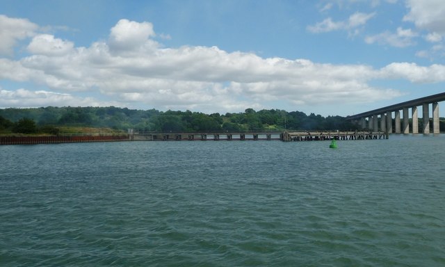
Jetty at the outfall, River Orwell, Ipswich
Part of the infrastructure of the sewage works.
 Map © Crown Copyright")
TIP: Click the map for more Large scale mapping
- Grid Square
- TM1741, 135 images (more nearby 🔍)
- Photographer
- Christine Johnstone (more nearby)
- Date Taken
- Wednesday, 12 July, 2017 (more nearby)
- Submitted
- Tuesday, 8 August, 2017
- Subject Location
-
OSGB36:
 TM 1713 4143 [10m precision]
WGS84: 52:1.7254N 1:9.8246E - Camera Location
-
OSGB36: TM 1702 4147
- View Direction
- East-southeast (about 112 degrees)