2017
NS6037 : Ruins in the woods below Loudoun Hill
taken 7 years ago, near to Stobieside, South Lanarkshire, Scotland
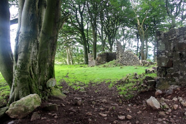
Ruins in the woods below Loudoun Hill
 Map © Crown Copyright")
TIP: Click the map for more Large scale mapping
- Grid Square
- NS6037, 69 images (more nearby 🔍)
- Photographer
- Alan Reid (more nearby)
- Date Taken
- Saturday, 29 July, 2017 (more nearby)
- Submitted
- Thursday, 10 August, 2017
- Subject Location
-
OSGB36:
 NS 6075 3773 [10m precision]
WGS84: 55:36.7906N 4:12.7432W - Camera Location
-
OSGB36: NS 6078 3773
- View Direction
- WEST (about 270 degrees)