2017
NT2366 : Caerketton Craigs
taken 7 years ago, near to Hillend, Midlothian, Scotland
This is 1 of 3 images, with title Caerketton Craigs in this square
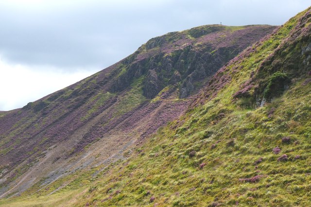
Caerketton Craigs
The steep N face above Hillend, given scale by the figure on the skyline.
 Map © Crown Copyright")
TIP: Click the map for more Large scale mapping
- Grid Square
- NT2366, 97 images (more nearby 🔍)
- Photographer
- Jim Barton (more nearby)
- Date Taken
- Wednesday, 9 August, 2017 (more nearby)
- Submitted
- Thursday, 10 August, 2017
- Subject Location
-
OSGB36:
 NT 2372 6628 [10m precision]
WGS84: 55:53.0161N 3:13.2585W - Camera Location
-
OSGB36: NT 2339 6662
- View Direction
- Southeast (about 135 degrees)