2017
SS9079 : Ogmore River Monitoring Station, Bridgend
taken 7 years ago, near to Bridgend/Pen-y-Bont ar Ogwr, Wales
This is 1 of 3 images, with title starting with Ogmore in this square
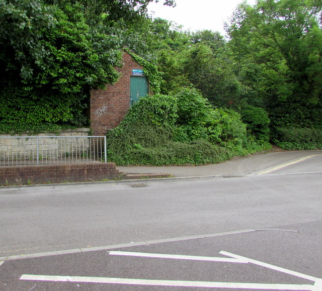
Ogmore River Monitoring Station, Bridgend
The Environment Agency River Ogmore site is at the edge of the Recreation Centre Car Park near Angel Street.
 Map © Crown Copyright")
TIP: Click the map for more Large scale mapping
- Grid Square
- SS9079, 1129 images (more nearby 🔍)
- Photographer
- Jaggery (more nearby)
- Date Taken
- Monday, 29 May, 2017 (more nearby)
- Submitted
- Friday, 11 August, 2017
- Subject Location
-
OSGB36:
 SS 9038 7944 [10m precision]
WGS84: 51:30.1938N 3:34.8451W - Camera Location
-
OSGB36: SS 9037 7944
- View Direction
- EAST (about 90 degrees)