2017
TQ5200 : Sheep above Charleston Bottom
taken 7 years ago, near to Westdean, East Sussex, England
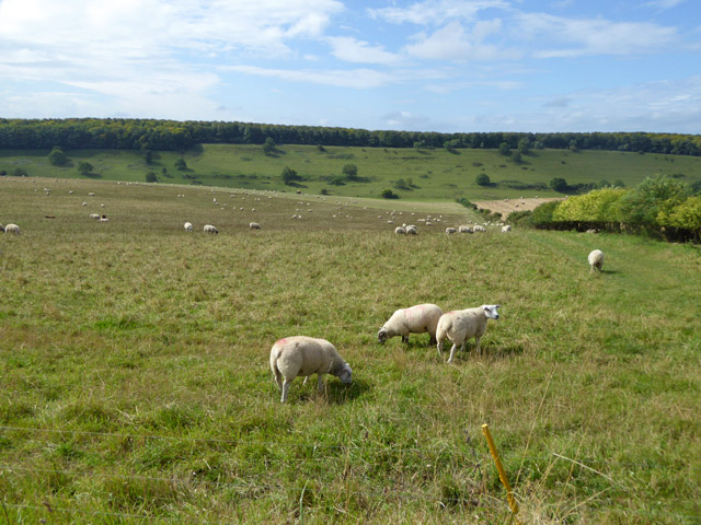
Sheep above Charleston Bottom
It is interesting that six years earlier this field had been growing a cereal - probably wheat - TQ5200 : Fields above Charleston Bottom.
 Map © Crown Copyright")
TIP: Click the map for more Large scale mapping
- Grid Square
- TQ5200, 52 images (more nearby 🔍)
- Photographer
- Robin Webster (more nearby)
- Date Taken
- Thursday, 10 August, 2017 (more nearby)
- Submitted
- Friday, 11 August, 2017
- Subject Location
-
OSGB36:
 TQ 5295 0078 [10m precision]
WGS84: 50:47.1854N 0:10.1068E - Camera Location
-
OSGB36: TQ 52977 00883
- View Direction
- South-southwest (about 202 degrees)