2017
SD7596 : Ruin of stone hut on Swarth Fell
taken 7 years ago, 4 km ESE of Fell End, Cumbria, England
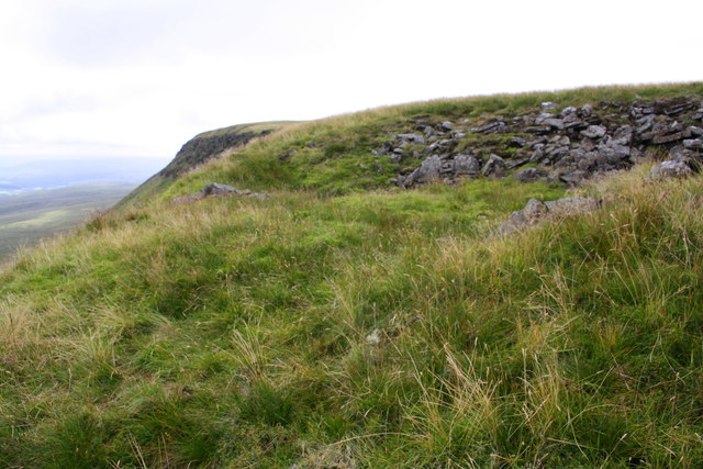
Ruin of stone hut on Swarth Fell
 Map © Crown Copyright")
TIP: Click the map for more Large scale mapping
- Grid Square
- SD7596, 23 images (more nearby 🔍)
- Photographer
- Roger Templeman (more nearby)
- Date Taken
- Tuesday, 25 July, 2017 (more nearby)
- Submitted
- Friday, 11 August, 2017
- Subject Location
-
OSGB36:
 SD 7556 9683 [10m precision]
WGS84: 54:21.9837N 2:22.6592W - Camera Location
-
OSGB36: SD 7551 9689
- View Direction
- Southeast (about 135 degrees)