2017
TQ0902 : Long Mead/Gun Field
taken 7 years ago, near to Ferring, West Sussex, England
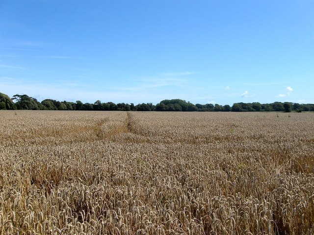
Long Mead/Gun Field
The name of the fields according to Ferring's 1837 tithe map that have been joined together to form a larger unit up to the district council boundary. Gun Field was to the east and Long mead to the west adjacent to TQ0902 : Long Mead which was once part of the latter.
 Map © Crown Copyright")
TIP: Click the map for more Large scale mapping
- Grid Square
- TQ0902, 190 images (more nearby 🔍)
- Photographer
- Simon Carey (more nearby)
- Date Taken
- Sunday, 6 August, 2017 (more nearby)
- Submitted
- Saturday, 12 August, 2017
- Subject Location
-
OSGB36:
 TQ 0997 0240 [10m precision]
WGS84: 50:48.6434N 0:26.4308W - Camera Location
-
OSGB36: TQ 0987 0238
- View Direction
- East-northeast (about 67 degrees)