2017
TQ0902 : Long Mead
taken 7 years ago, near to Ferring, West Sussex, England
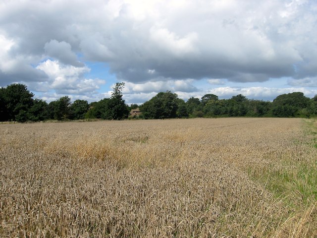
Long Mead
The name of the field according to Ferring's 1837 tithe map that is located to the east of TQ0902 : Saunders Croft, north of TQ0902 : Pond Field and west of TQ0902 : Long Mead/Gun Field which also includes a former part of the field.
 Map © Crown Copyright")
TIP: Click the map for more Large scale mapping
- Grid Square
- TQ0902, 190 images (more nearby 🔍)
- Photographer
- Simon Carey (more nearby)
- Date Taken
- Sunday, 6 August, 2017 (more nearby)
- Submitted
- Saturday, 12 August, 2017
- Subject Location
-
OSGB36:
 TQ 0983 0237 [10m precision]
WGS84: 50:48.6288N 0:26.5505W - Camera Location
-
OSGB36: TQ 0989 0229
- View Direction
- North-northwest (about 337 degrees)