2016
SO5754 : West side of Hegdon Hill
taken 8 years ago, near to Hegdon Hill, County of Herefordshire, England
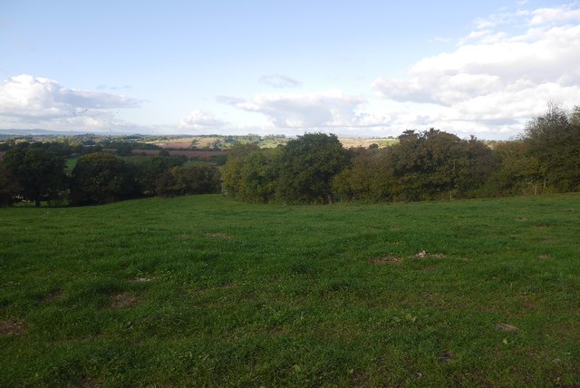
West side of Hegdon Hill
Near the highest point of the uplands around Bromyard.
 Map © Crown Copyright")
TIP: Click the map for more Large scale mapping
- Grid Square
- SO5754, 21 images (more nearby 🔍)
- Photographer
- Richard Webb (more nearby)
- Date Taken
- Wednesday, 19 October, 2016 (more nearby)
- Submitted
- Thursday, 17 August, 2017
- Subject Location
-
OSGB36:
 SO 5794 5415 [10m precision]
WGS84: 52:11.0391N 2:36.9957W - Camera Location
-
OSGB36: SO 5795 5411
- View Direction
- North-northwest (about 337 degrees)