2017
NY7271 : Forest track in Wark Forest
taken 7 years ago, 3 km from Whiteside, Northumberland, England
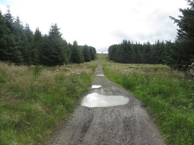
Forest track in Wark Forest
Looking along a rough forest track in Wark Forest. The track is also part of the national cycle network of routes.
 Map © Crown Copyright")
TIP: Click the map for more Large scale mapping
- Grid Square
- NY7271, 21 images (more nearby 🔍)
- Photographer
- Graham Robson (more nearby)
- Date Taken
- Sunday, 16 July, 2017 (more nearby)
- Submitted
- Thursday, 17 August, 2017
- Subject Location
-
OSGB36:
 NY 721 716 [100m precision]
WGS84: 55:2.2877N 2:26.2196W - Camera Location
-
OSGB36: NY 721 716
- View Direction
- South-southeast (about 157 degrees)