2017
TQ5092 : Path out of the woodland in Havering Country Park
taken 7 years ago, near to Havering-Atte-Bower, Havering, England
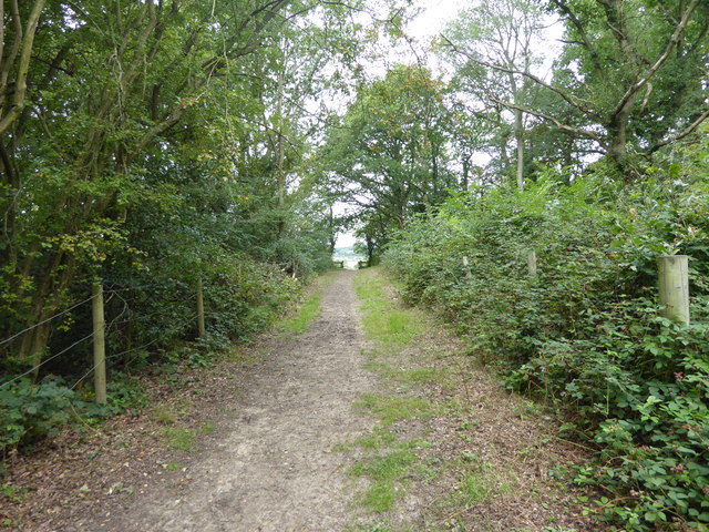
Path out of the woodland in Havering Country Park
Havering Country Park was formerly part of Havering Park, which was itself part of the estate of the medieval Royal Palace of Havering. Havering Palace was in the village of Havering-atte-Bower, just to the north-west of the parish church which was built on the site of one of the Palace's chapels. Its long royal history commenced in 1066 when William the Conqueror decided to keep the manor of Havering for himself. James I was the last monarch to stay there regularly and in 1638 Charles I was the very last monarch to stay at Havering. After the Restoration, the house then known as Havering House was occupied by the Earl of Lindsey, but, despite much money being spent on it, it became vacant between 1686 and 1719 when it was reported to be in ruins. By 1816 there was no trace of it.
In 1828 the McIntosh family bought the manor and built a house, laying out a park, gardens and pleasure grounds. Leading up to the house was an avenue of Wellingtonia (giant redwood) trees, planted in the mid-19th century, which remains as the second largest plantation in the country. The estate was broken up after Mrs Charlotte McIntosh's death and the house was demolished in 1925.
Part was sold off in long, narrow one-acre plots, known as the Plotlands, which were popular from the 1920s-1940s, many bought by Eastenders, and some building bungalows and moving in. In 1972 the Greater London Council made a Compulsory Purchase Order to clear the Plotlands for a regional public park but it was not until 1975 that the area was opened as Havering Country Park. The parkland surrounding the house was much more extensive than the current country park which covers the part of the former park adjacent to the site of the Palace.
This is on the western edge of Havering Country Park. The London LOOP passes the exit from the woods seen ahead.
 Map © Crown Copyright")
TIP: Click the map for more Large scale mapping
- Grid Square
- TQ5092, 15 images (more nearby 🔍)
- Photographer
- Marathon (more nearby)
- Date Taken
- Wednesday, 16 August, 2017 (more nearby)
- Submitted
- Thursday, 17 August, 2017
- Subject Location
-
OSGB36:
 TQ 5002 9289 [10m precision]
WGS84: 51:36.8911N 0:9.9230E - Camera Location
-
OSGB36: TQ 5007 9287
- View Direction
- West-northwest (about 292 degrees)