2017
NT9250 : Flood defences by River Tweed
taken 7 years ago, near to Horncliffe, Northumberland, England
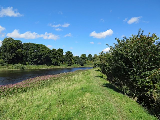
Flood defences by River Tweed
 Map © Crown Copyright")
TIP: Click the map for more Large scale mapping
- Grid Square
- NT9250, 51 images (more nearby 🔍)
- Photographer
- Andrew Curtis (more nearby)
- Date Taken
- Thursday, 17 August, 2017 (more nearby)
- Submitted
- Friday, 18 August, 2017
- Subject Location
-
OSGB36:
 NT 9271 5004 [10m precision]
WGS84: 55:44.6211N 2:7.0610W - Camera Location
-
OSGB36: NT 92722 50022
- View Direction
- North-northwest (about 337 degrees)