2017
TF4066 : Spilsby: aerial 2017
taken 7 years ago, near to Spilsby, Lincolnshire, England
This is 1 of 2 images, with title starting with Spilsby: aerial 2017 in this square
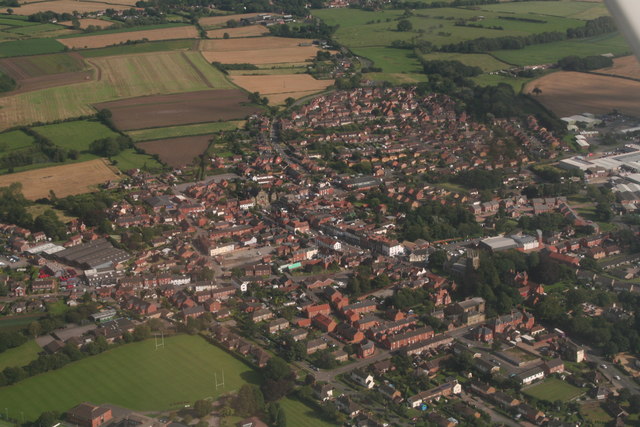
Spilsby: aerial 2017
 Map © Crown Copyright")
TIP: Click the map for more Large scale mapping
- Grid Square
- TF4066, 394 images (more nearby 🔍)
- Photographer
- Chris (more nearby)
- Date Taken
- Thursday, 17 August, 2017 (more nearby)
- Submitted
- Friday, 18 August, 2017
- Subject Location
-
OSGB36:
 TF 4021 6619 [10m precision]
WGS84: 53:10.4612N 0:5.7791E - Camera Location
-
OSGB36: TF 3928 6660
- View Direction
- East-southeast (about 112 degrees)