2017
SK9358 : River Brant
taken 7 years ago, 3 km from Bassingham, Lincolnshire, England
This is 1 of 5 images, with title River Brant in this square
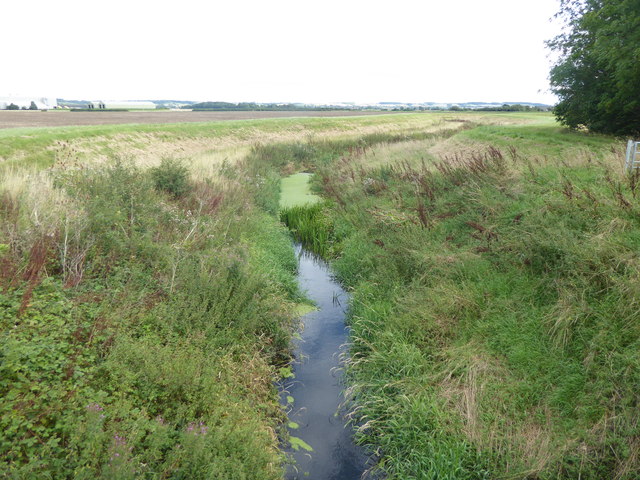
River Brant
The River Brant is a 14 miles long tributary of the River Witham which in turn flows into the River Trent. The origin of the name is from the Old English; brant meaning "steep", or "deep". A more detailed list of the place through which it flows is given at Link
This view looks upstream from the bridge where Hopyard Lane becomes Broughton Lane.
This view looks upstream from the bridge where Hopyard Lane becomes Broughton Lane.
 Map © Crown Copyright")
TIP: Click the map for more Large scale mapping
- Grid Square
- SK9358, 25 images (more nearby 🔍)
- Photographer
- Marathon (more nearby)
- Date Taken
- Saturday, 12 August, 2017 (more nearby)
- Submitted
- Friday, 18 August, 2017
- Subject Location
-
OSGB36:
 SK 9395 5814 [10m precision]
WGS84: 53:6.7309N 0:35.8730W - Camera Location
-
OSGB36: SK 9392 5817
- View Direction
- Southeast (about 135 degrees)