2017
SX4754 : Sundial, Armada Way
taken 7 years ago, near to Plymouth, England
This is 1 of 13 images, with title Sundial, Armada Way in this square
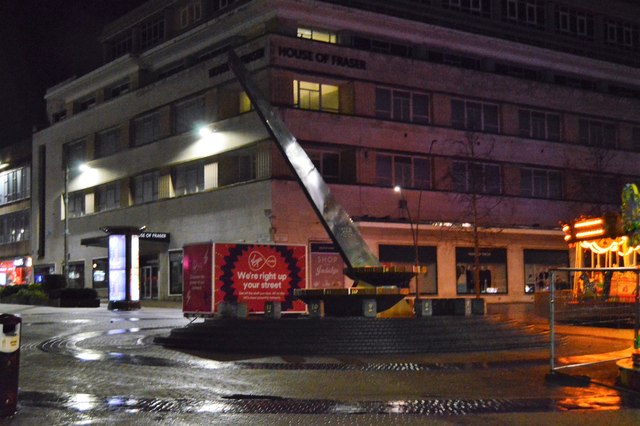
Sundial, Armada Way
Armada Way is a wide north-south running Avenue in the Centre of Plymouth. It connects the Railway Station with The Hoe.
It was planned by Sir Patrick Abercrombie as part of his "Plan for Plymouth". This was to re-develop the bomb damaged centre of Plymouth.
The Way is a major shopping road.
See other images of Armada Way
It was planned by Sir Patrick Abercrombie as part of his "Plan for Plymouth". This was to re-develop the bomb damaged centre of Plymouth.
The Way is a major shopping road.
See other images of Armada Way
 Map © Crown Copyright")
TIP: Click the map for more Large scale mapping
- Grid Square
- SX4754, 2434 images (more nearby 🔍)
- Photographer
- N Chadwick (more nearby)
- Date Taken
- Friday, 31 March, 2017 (more nearby)
- Submitted
- Sunday, 20 August, 2017
- Subject Location
-
OSGB36:
 SX 4773 5458 [10m precision]
WGS84: 50:22.2818N 4:8.5564W - Camera Location
-
OSGB36: SX 4772 5459
- View Direction
- South-southeast (about 157 degrees)