2007
ST7468 : Manor Farm, Woolley
taken 17 years ago, near to Woolley, Bath And North East Somerset, England
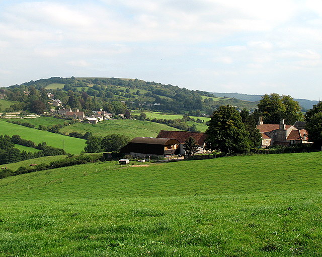
Manor Farm, Woolley
The small settlement of Upper Swainswick can be seen in the background, and the flat-topped hill behind is Little Solsbury Hill - 119m high topped by an Iron Age hillfort.
 Map © Crown Copyright")
TIP: Click the map for more Large scale mapping
- Grid Square
- ST7468, 34 images (more nearby 🔍)
- Photographer
- Sharon Loxton (more nearby)
- Date Taken
- Friday, 7 September, 2007 (more nearby)
- Submitted
- Sunday, 9 September, 2007
- Subject Location
-
OSGB36:
 ST 749 686 [100m precision]
WGS84: 51:24.9515N 2:21.6874W - Camera Location
-
OSGB36: ST 748 686
- View Direction
- East-southeast (about 112 degrees)