2017
SS2108 : Track leading to Northcott
taken 7 years ago, near to Poughill, Cornwall, England
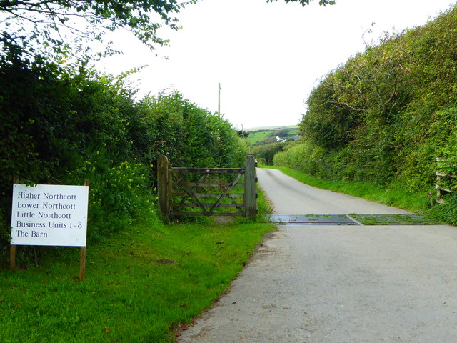
Track leading to Northcott
 Map © Crown Copyright")
TIP: Click the map for more Large scale mapping
- Grid Square
- SS2108, 10 images (more nearby 🔍)
- Photographer
- Rod Allday (more nearby)
- Date Taken
- Wednesday, 23 August, 2017 (more nearby)
- Submitted
- Saturday, 26 August, 2017
- Subject Location
-
OSGB36:
 SS 217 082 [100m precision]
WGS84: 50:50.7951N 4:32.0463W - Camera Location
-
OSGB36: SS 217 082
- View Direction
- North-northwest (about 337 degrees)