2017

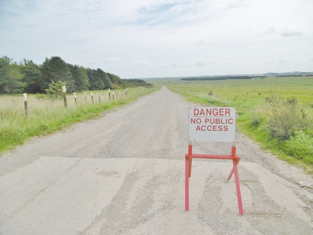
ST9546 : Imber, road sign

taken 7 years ago, 5 km NNE of Heytesbury, Wiltshire, England

Imber, road sign
Imber, road sign
On one of the many military roads on Salisbury Plain: LinkExternal link (Archive LinkExternal link )

Creative Commons Licence [Some Rights Reserved]   © Copyright Mike Faherty and licensed for reuse under this Creative Commons Licence.
Geographical Context: Lowlands Roads, Road transport Defence, Military Signage: Road Sign Road: Military Road Primary Subject: Sign other tags: Military Training Area Click a tag, to view other nearby images.
1:50,000 Modern Day Landranger(TM) Map © Crown Copyright
+
1:50,000 Modern Day Landranger(TM) Map © Crown Copyright
TIP: Click the map for more Large scale mapping
Grid Square
ST9546, 14 images   (more nearby 🔍)
Photographer
Mike Faherty   (more nearby)
Date Taken
Saturday, 26 August, 2017   (more nearby)
Submitted
Saturday, 26 August, 2017
Subject Location
OSGB36: geotagged! ST 9519 4686 [10m precision]
WGS84: 51:13.2549N 2:4.2153W
Camera Location
OSGB36: geotagged! ST 9519 4686
View Direction
EAST (about 90 degrees)
Clickable map
+
NW N NE
W Go E
SW S SE
Image Type (about): geograph 
This page has been viewed about 15 times
You are not logged in login | register