2017
ND3567 : Fence, Stroupster, Caithness
taken 7 years ago, near to Freswick, Highland, Scotland
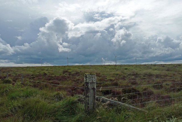
Fence, Stroupster, Caithness
This was formerly the boundary fence of Stroupster Forest. The forest was cleared around 2014 to be replaced by the wind farm.
 Map © Crown Copyright")
TIP: Click the map for more Large scale mapping
- Grid Square
- ND3567, 2 images (more nearby 🔍)
- Photographer
- Claire Pegrum (more nearby)
- Date Taken
- Friday, 28 July, 2017 (more nearby)
- Submitted
- Monday, 28 August, 2017
- Subject Location
-
OSGB36:
 ND 35758 67549 [1m precision]
WGS84: 58:35.4693N 3:6.4092W - Camera Location
-
OSGB36: ND 35758 67549
- View Direction
- West-southwest (about 247 degrees)