2017
SD8732 : Crooked Billet, Worsthorne
taken 7 years ago, near to Worsthorne, Lancashire, England
This is 1 of 2 images, with title starting with Crooked Billet in this square
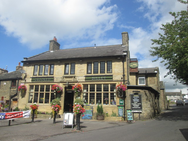
Crooked Billet, Worsthorne
 Map © Crown Copyright")
TIP: Click the map for more Large scale mapping
- Grid Square
- SD8732, 54 images (more nearby 🔍)
- Photographer
- John Slater (more nearby)
- Date Taken
- Saturday, 26 August, 2017 (more nearby)
- Submitted
- Tuesday, 29 August, 2017
- Subject Location
-
OSGB36:
 SD 8761 3249 [10m precision]
WGS84: 53:47.3147N 2:11.3725W - Camera Location
-
OSGB36: SD 8762 3246
- View Direction
- North-northwest (about 337 degrees)