2017
NF9578 : Sgeir a' Siar
taken 7 years ago, 4 km SE of Baile, North Uist & Berneray, Na h-Eileanan an Iar, Scotland
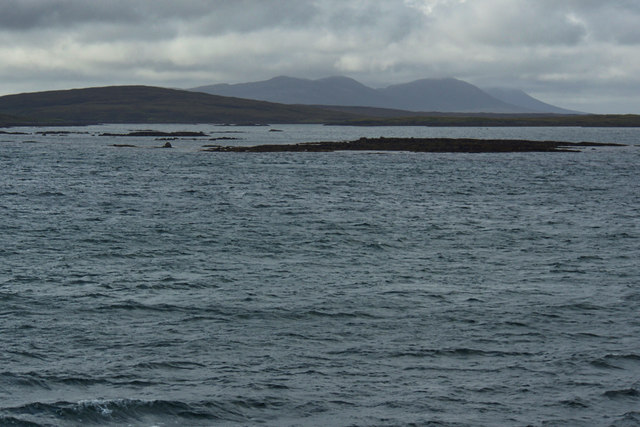
Sgeir a' Siar
 Map © Crown Copyright")
TIP: Click the map for more Large scale mapping
- Grid Square
- NF9578, 3 images (more nearby 🔍)
- Photographer
- Mick Garratt (more nearby)
- Date Taken
- Saturday, 19 August, 2017 (more nearby)
- Submitted
- Friday, 1 September, 2017
- Subject Location
-
OSGB36:
 NF 9518 7871 [10m precision]
WGS84: 57:41.6704N 7:7.0712W - Camera Location
-
OSGB36: NF 957 782
- View Direction
- Northwest (about 315 degrees)