2017
SO6921 : The Gloucestershire Way on May Hill
taken 7 years ago, near to Glasshouse Hill, Gloucestershire, England
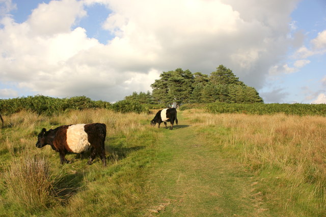
The Gloucestershire Way on May Hill
 Map © Crown Copyright")
TIP: Click the map for more Large scale mapping
- Grid Square
- SO6921, 143 images (more nearby 🔍)
- Photographer
- Jeff Buck (more nearby)
- Date Taken
- Tuesday, 15 August, 2017 (more nearby)
- Submitted
- Friday, 1 September, 2017
- Subject Location
-
OSGB36:
 SO 6963 2118 [10m precision]
WGS84: 51:53.3005N 2:26.5610W - Camera Location
-
OSGB36: SO 6965 2114
- View Direction
- North-northwest (about 337 degrees)