2017
TQ0319 : Park Mound
taken 7 years ago, near to Pulborough, West Sussex, England
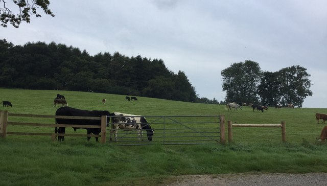
Park Mound
Park Mound viewed from the Wey-South Path. This was the site for a former Motte and Bailey Castle.
 Map © Crown Copyright")
TIP: Click the map for more Large scale mapping
- Grid Square
- TQ0319, 27 images (more nearby 🔍)
- Photographer
- Chris Thomas-Atkin (more nearby)
- Date Taken
- Sunday, 3 September, 2017 (more nearby)
- Submitted
- Sunday, 3 September, 2017
- Subject Location
-
OSGB36:
 TQ 0385 1903 [10m precision]
WGS84: 50:57.6808N 0:31.3575W - Camera Location
-
OSGB36: TQ 0395 1905
- View Direction
- WEST (about 270 degrees)