2017
ST6503 : Farmland above Up Cerne
taken 7 years ago, near to Up Cerne, Dorset, England
This is 1 of 2 images, with title Farmland above Up Cerne in this square
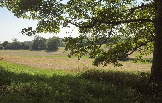
Farmland above Up Cerne
From bridleway S47 6#3 as it approaches Great Pond.
 Map © Crown Copyright")
TIP: Click the map for more Large scale mapping
- Grid Square
- ST6503, 20 images (more nearby 🔍)
- Photographer
- Derek Harper (more nearby)
- Date Taken
- Monday, 28 August, 2017 (more nearby)
- Submitted
- Sunday, 3 September, 2017
- Subject Location
-
OSGB36:
 ST 655 030 [100m precision]
WGS84: 50:49.5302N 2:29.4712W - Camera Location
-
OSGB36: ST 6555 0314
- View Direction
- SOUTH (about 180 degrees)