2017
NH5558 : Path beside the upper reaches of the Cromarty Firth
taken 7 years ago, near to Alcaig, Highland, Scotland
This is 1 of 2 images, with title Path beside the upper reaches of the Cromarty Firth in this square
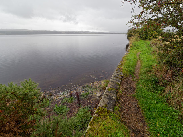
Path beside the upper reaches of the Cromarty Firth
High tide in the firth brings the sea right up to this old stone flood defence wall.
 Map © Crown Copyright")
TIP: Click the map for more Large scale mapping
- Grid Square
- NH5558, 199 images (more nearby 🔍)
- Photographer
- valenta (more nearby)
- Date Taken
- Sunday, 10 September, 2017 (more nearby)
- Submitted
- Sunday, 10 September, 2017
- Subject Location
-
OSGB36:
 NH 5580 5802 [10m precision]
WGS84: 57:35.3466N 4:24.8326W - Camera Location
-
OSGB36: NH 55833 58051
- View Direction
- Southwest (about 225 degrees)