2017
SK5739 : Down Malin Hill
taken 7 years ago, near to Nottingham, England
This is 1 of 17 images, with title starting with Down in this square
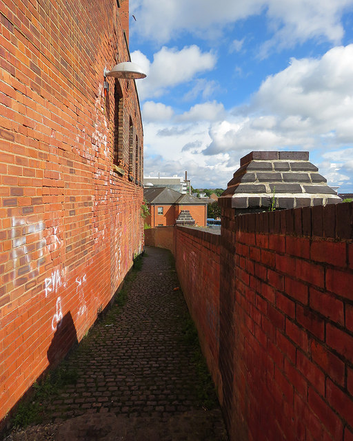
Down Malin Hill
A steep and ancient path on the face of the sandstone bluff on which Anglo-Saxon Nottingham developed. It leads from Commerce Square in The Lace Market down to Bellar Gate and London Road.
 Map © Crown Copyright")
TIP: Click the map for more Large scale mapping
- Grid Square
- SK5739, 3590 images (more nearby 🔍)
- Photographer
- John Sutton (more nearby)
- Date Taken
- Saturday, 9 September, 2017 (more nearby)
- Submitted
- Monday, 11 September, 2017
- Subject Location
-
OSGB36:
 SK 5773 3959 [10m precision]
WGS84: 52:57.0356N 1:8.5332W - Camera Location
-
OSGB36: SK 5772 3959
- View Direction
- EAST (about 90 degrees)