2017
NT9426 : Road to Commonburn
taken 7 years ago, 3 km from Akeld, Northumberland, England
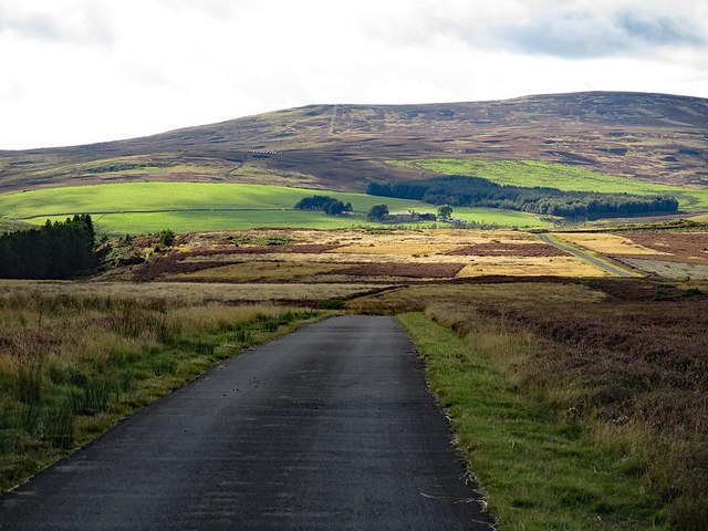
Road to Commonburn
 Map © Crown Copyright")
TIP: Click the map for more Large scale mapping
- Grid Square
- NT9426, 26 images (more nearby 🔍)
- Photographer
- Andrew Curtis (more nearby)
- Date Taken
- Saturday, 9 September, 2017 (more nearby)
- Submitted
- Tuesday, 12 September, 2017
- Subject Location
-
OSGB36:
 NT 9479 2690 [10m precision]
WGS84: 55:32.1477N 2:5.0463W - Camera Location
-
OSGB36: NT 94883 26908
- View Direction
- WEST (about 270 degrees)