2017
NT2569 : Track on Braid Hills
taken 7 years ago, near to Fairmilehead, Edinburgh, Scotland
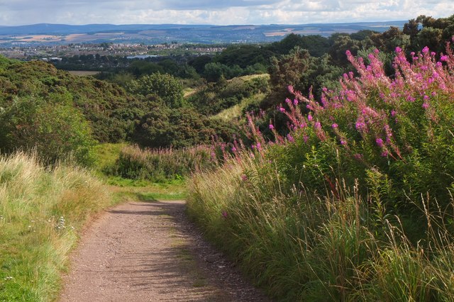
Track on Braid Hills
A track descending the east side of the hill, following the southern edge of the golf course.
 Map © Crown Copyright")
TIP: Click the map for more Large scale mapping
- Grid Square
- NT2569, 45 images (more nearby 🔍)
- Photographer
- Jim Barton (more nearby)
- Date Taken
- Thursday, 14 September, 2017 (more nearby)
- Submitted
- Friday, 15 September, 2017
- Subject Location
-
OSGB36:
 NT 2527 6943 [10m precision]
WGS84: 55:54.7284N 3:11.8245W - Camera Location
-
OSGB36: NT 2524 6944
- View Direction
- East-southeast (about 112 degrees)