2017
SH4264 : Tuag at Glwt Gwlyb / Towards Clwt Glwyb
taken 7 years ago, near to Niwbwrch, Isle of Anglesey/Sir Ynys Mon, Wales
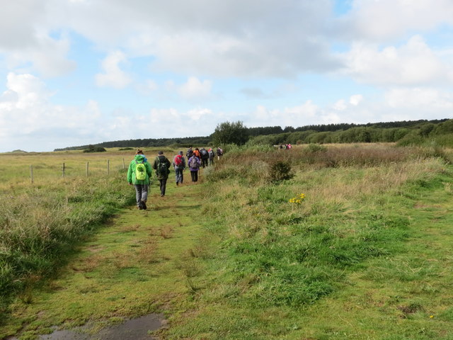
Tuag at Glwt Gwlyb / Towards Clwt Glwyb
Cerddwyr yn dilyn llwybr cyhoeddus i gyfeiriad Clwt Gwlyb.
Walkers following a public footpath in the direction of Clwt Gwlyb (trans. wet patch).
Walkers following a public footpath in the direction of Clwt Gwlyb (trans. wet patch).
 Map © Crown Copyright")
TIP: Click the map for more Large scale mapping
- Grid Square
- SH4264, 38 images (more nearby 🔍)
- Photographer
- Alan Richards (more nearby)
- Date Taken
- Saturday, 9 September, 2017 (more nearby)
- Submitted
- Friday, 15 September, 2017
- Subject Location
-
OSGB36:
 SH 4240 6458 [10m precision]
WGS84: 53:9.2980N 4:21.5034W - Camera Location
-
OSGB36: SH 4246 6461
- View Direction
- West-southwest (about 247 degrees)