2017
SP6175 : Farmland west of Winwick Manor Farm
taken 7 years ago, near to Winwick, West Northamptonshire, England
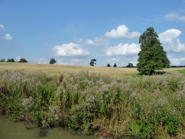
Farmland west of Winwick Manor Farm
On the bank of the Leicester section of the Grand Union Canal, between bridges 25 and 26.
 Map © Crown Copyright")
TIP: Click the map for more Large scale mapping
- Grid Square
- SP6175, 39 images (more nearby 🔍)
- Photographer
- Christine Johnstone (more nearby)
- Date Taken
- Saturday, 2 September, 2017 (more nearby)
- Submitted
- Saturday, 16 September, 2017
- Subject Location
-
OSGB36:
 SP 6173 7541 [10m precision]
WGS84: 52:22.3959N 1:5.6813W - Camera Location
-
OSGB36: SP 6172 7533
- View Direction
- NORTH (about 0 degrees)