2017
NY8628 : The Tees below Bracken Rigg
taken 7 years ago, near to Forest-in-Teesdale, County Durham, England
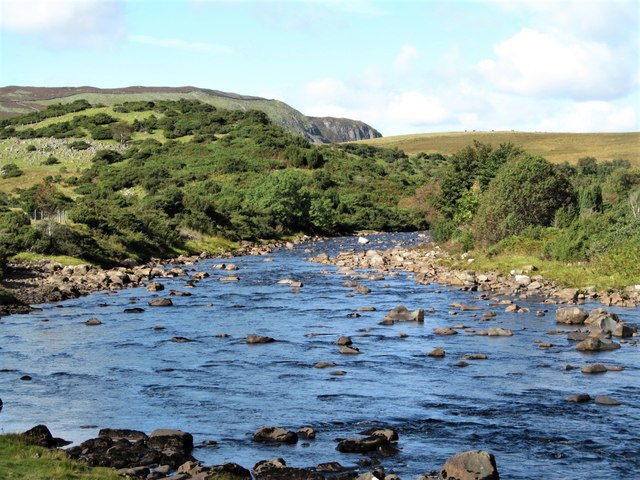
The Tees below Bracken Rigg
Here the river has just swung around a corner between Bracken Rigg and Dine Holm Scar to begin the run down to High Force. Bracken Rigg is to the left, beyond which is the higher ground of Cronkley Scar.
 Map © Crown Copyright")
TIP: Click the map for more Large scale mapping
- Grid Square
- NY8628, 38 images (more nearby 🔍)
- Photographer
- Gordon Hatton (more nearby)
- Date Taken
- Tuesday, 19 September, 2017 (more nearby)
- Submitted
- Wednesday, 20 September, 2017
- Subject Location
-
OSGB36:
 NY 8682 2808 [10m precision]
WGS84: 54:38.8591N 2:12.3459W - Camera Location
-
OSGB36: NY 8690 2806
- View Direction
- West-northwest (about 292 degrees)