2017
SP6092 : Farmland and cattle trough next to Arnesby Lane
taken 7 years ago, near to Peatling Magna, Leicestershire, England
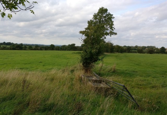
Farmland and cattle trough next to Arnesby Lane
 Map © Crown Copyright")
TIP: Click the map for more Large scale mapping
- Grid Square
- SP6092, 21 images (more nearby 🔍)
- Photographer
- Mat Fascione (more nearby)
- Date Taken
- Wednesday, 20 September, 2017 (more nearby)
- Submitted
- Wednesday, 20 September, 2017
- Subject Location
-
OSGB36:
 SP 603 921 [100m precision]
WGS84: 52:31.4550N 1:6.6981W - Camera Location
-
OSGB36: SP 603 921
- View Direction
- NORTH (about 0 degrees)