1999
SN7277 : Path in Cwm Rheidol
taken 25 years ago, near to Ystumtuen, Ceredigion/Sir Ceredigion, Wales
This is 1 of 2 images, with title Path in Cwm Rheidol in this square
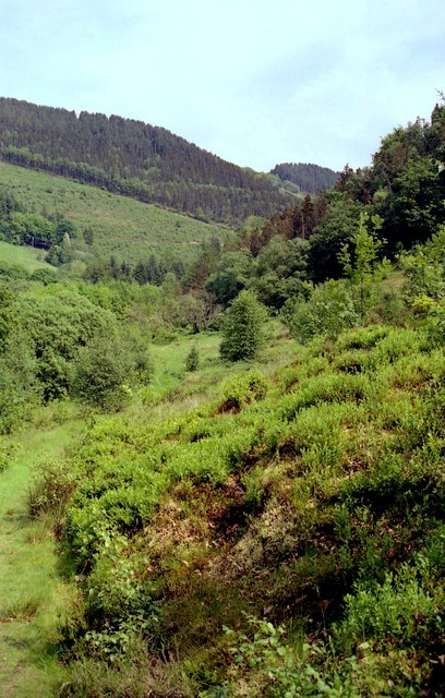
Path in Cwm Rheidol
A large area of bilberry plants lies to the right.
 Map © Crown Copyright")
TIP: Click the map for more Large scale mapping
- Grid Square
- SN7277, 179 images (more nearby 🔍)
- Photographer
- John Lucas (more nearby)
- Date Taken
- Thursday, 27 May, 1999 (more nearby)
- Submitted
- Friday, 22 September, 2017
- Subject Location
-
OSGB36:
 SN 729 779 [100m precision]
WGS84: 52:23.1040N 3:52.0914W - Camera Location
-
OSGB36: SN 729 779
- View Direction
- East-southeast (about 112 degrees)