2017
NY9629 : Monk's Moor between Monk's Currick and Carrs Hill
taken 7 years ago, 4 km NNE of Middleton-in-Teesdale, County Durham, England
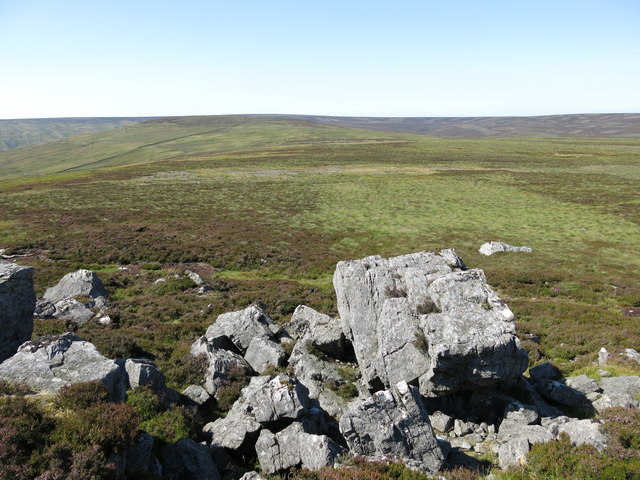
Monk's Moor between Monk's Currick and Carrs Hill
 Map © Crown Copyright")
TIP: Click the map for more Large scale mapping
- Grid Square
- NY9629, 43 images (more nearby 🔍)
- Photographer
- Mike Quinn (more nearby)
- Date Taken
- Monday, 17 July, 2017 (more nearby)
- Submitted
- Friday, 22 September, 2017
- Subject Location
-
OSGB36:
 NY 9603 2951 [10m precision]
WGS84: 54:39.6396N 2:3.7836W - Camera Location
-
OSGB36: NY 9631 2900
- View Direction
- North-northwest (about 337 degrees)