2017
SH7357 : Ruined Agricultural Building, Capel Curig
taken 7 years ago, near to Pont Cyfyng, Conwy, Wales
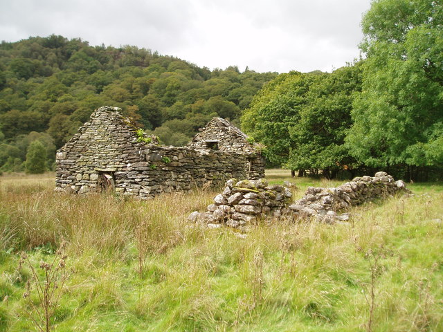
Ruined Agricultural Building, Capel Curig
 Map © Crown Copyright")
TIP: Click the map for more Large scale mapping
- Grid Square
- SH7357, 115 images (more nearby 🔍)
- Photographer
- Chris Andrews (more nearby)
- Date Taken
- Wednesday, 6 September, 2017 (more nearby)
- Submitted
- Friday, 22 September, 2017
- Subject Location
-
OSGB36:
 SH 7319 5722 [10m precision]
WGS84: 53:5.8242N 3:53.7190W - Camera Location
-
OSGB36: SH 7320 5722
- View Direction
- WEST (about 270 degrees)