2017
TA2716 : Track to the Old Hall
taken 7 years ago, near to Sunk Island, East Riding of Yorkshire, England
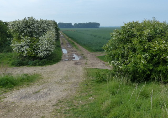
Track to the Old Hall
 Map © Crown Copyright")
TIP: Click the map for more Large scale mapping
- Grid Square
- TA2716, 13 images (more nearby 🔍)
- Photographer
- Mat Fascione (more nearby)
- Date Taken
- Monday, 22 May, 2017 (more nearby)
- Submitted
- Saturday, 23 September, 2017
- Subject Location
-
OSGB36:
 TA 275 168 [100m precision]
WGS84: 53:37.9420N 0:4.3332W - Camera Location
-
OSGB36: TA 275 167
- View Direction
- NORTH (about 0 degrees)