2017
SU6205 : Portchester, railway bridge
taken 7 years ago, near to Portchester, Hampshire, England
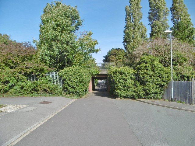
Portchester, railway bridge
Carrying railway lines over Sedgefield Close - to the North, the road becomes Connaught Lane.
 Map © Crown Copyright")
TIP: Click the map for more Large scale mapping
- Grid Square
- SU6205, 142 images (more nearby 🔍)
- Photographer
- Mike Faherty (more nearby)
- Date Taken
- Saturday, 23 September, 2017 (more nearby)
- Submitted
- Sunday, 24 September, 2017
- Subject Location
-
OSGB36:
 SU 6251 0580 [10m precision]
WGS84: 50:50.9011N 1:6.8062W - Camera Location
-
OSGB36: SU 6251 0579
- View Direction
- NORTH (about 0 degrees)