2017
SD8442 : Track below Wheathead Height
taken 7 years ago, near to Greystone, Lancashire, England
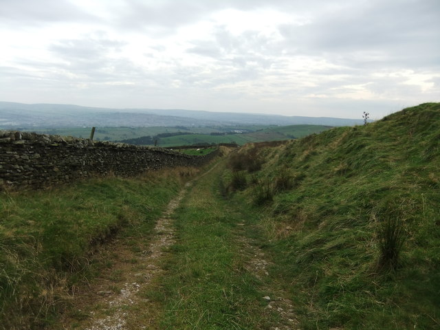
Track below Wheathead Height
 Map © Crown Copyright")
TIP: Click the map for more Large scale mapping
- Grid Square
- SD8442, 8 images (more nearby 🔍)
- Photographer
- David Brown (more nearby)
- Date Taken
- Sunday, 24 September, 2017 (more nearby)
- Submitted
- Sunday, 24 September, 2017
- Subject Location
-
OSGB36:
 SD 8423 4259 [10m precision]
WGS84: 53:52.7558N 2:14.4819W - Camera Location
-
OSGB36: SD 8422 4274
- View Direction
- SOUTH (about 180 degrees)