2017
SD9288 : River Bain at Low Wheel
taken 7 years ago, near to Countersett, North Yorkshire, England
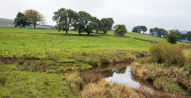
River Bain at Low Wheel
The River Bain drains water from Semer Water past the village of Bainbridge and into the River Ure. Low Wheel is presumably a feature of the river - it's printed on OS maps beside it in blue text - but it's nature is unknown.
 Map © Crown Copyright")
TIP: Click the map for more Large scale mapping
- Grid Square
- SD9288, 23 images (more nearby 🔍)
- Photographer
- Trevor Littlewood (more nearby)
- Date Taken
- Saturday, 23 September, 2017 (more nearby)
- Submitted
- Wednesday, 27 September, 2017
- Subject Location
-
OSGB36:
 SD 9261 8807 [10m precision]
WGS84: 54:17.2922N 2:6.9014W - Camera Location
-
OSGB36: SD 9266 8814
- View Direction
- South-southwest (about 202 degrees)