2017
J4778 : Estate Road, Clandeboye, Bangor (September 2017)
taken 7 years ago, 3 km from Crawfordsburn, Co Down, Northern Ireland
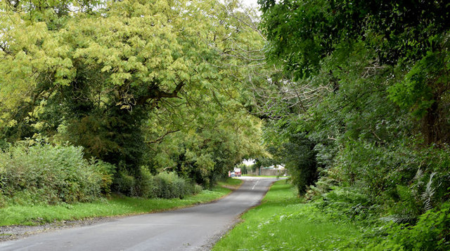
Estate Road, Clandeboye, Bangor (September 2017)
See J4778 : Road at Clandeboye, Bangor (January 2007). The same road, still without name signs. Anonymous on the Google map, the Philips street atlas shows it as Estate Road. The council name signs, however, name the private road, into the Clandeboye Estate (background, lower middle), as Estate Road. This view is towards the Crawfordsburn Road.
Loading map... (JavaScript required)
- Grid Square
- J4778, 8 images (more nearby 🔍)
- Photographer
- Albert Bridge (more nearby)
- Date Taken
- Thursday, 28 September, 2017 (more nearby)
- Submitted
- Thursday, 28 September, 2017
- Subject Location
-
Irish:
 J 471 786 [100m precision]
WGS84: 54:38.0734N 5:43.3213W - Camera Location
-
Irish: J 470 786
- View Direction
- East-northeast (about 67 degrees)