2017
SN9455 : Llwybr Maesygroes Uchaf / Upper Maesygroes Path
taken 7 years ago, near to Pentre-Llwyn-Llwyd, Powys, Wales
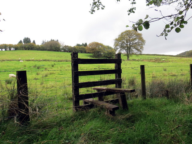
Llwybr Maesygroes Uchaf / Upper Maesygroes Path
Llwybr cyhoeddus yn arwain at Faesygroes Uchaf.
A public footpath heading towards Upper Maesygroes (trans. field of the cross / crossroads)
A public footpath heading towards Upper Maesygroes (trans. field of the cross / crossroads)
 Map © Crown Copyright")
TIP: Click the map for more Large scale mapping
- Grid Square
- SN9455, 13 images (more nearby 🔍)
- Photographer
- Alan Richards (more nearby)
- Date Taken
- Wednesday, 4 October, 2017 (more nearby)
- Submitted
- Wednesday, 4 October, 2017
- Subject Location
-
OSGB36:
 SN 9483 5521 [10m precision]
WGS84: 52:11.1046N 3:32.3839W - Camera Location
-
OSGB36: SN 9484 5517
- View Direction
- North-northwest (about 337 degrees)