2017
SX2857 : A387, Widegates
taken 7 years ago, near to Widegates, Cornwall, England
This is 1 of 2 images, with title A387, Widegates in this square
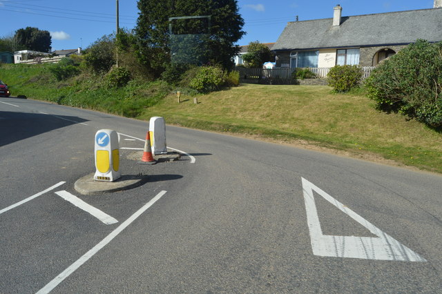
A387, Widegates
The A387 is a 12.5 mile long road in SE Cornwall, between Polbathic and Crumplehorn (Polperro) SX2051 : Mini-roundabout, Crumplehorn, via Looe.
Link
See other images of A387 Road
Link
See other images of A387 Road
 Map © Crown Copyright")
TIP: Click the map for more Large scale mapping
- Grid Square
- SX2857, 18 images (more nearby 🔍)
- Photographer
- N Chadwick (more nearby)
- Date Taken
- Saturday, 22 April, 2017 (more nearby)
- Submitted
- Thursday, 5 October, 2017
- Subject Location
-
OSGB36:
 SX 2889 5769 [10m precision]
WGS84: 50:23.6476N 4:24.5232W - Camera Location
-
OSGB36: SX 2890 5769
- View Direction
- North-northwest (about 337 degrees)