2017
NF7516 : Loch Trosaraidh
taken 7 years ago, near to Garrynamonie, South Uist & Benbecula, Na h-Eileanan an Iar, Scotland
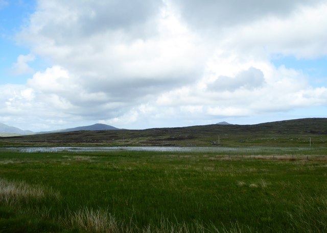
Loch Trosaraidh
 Map © Crown Copyright")
TIP: Click the map for more Large scale mapping
- Grid Square
- NF7516, 12 images (more nearby 🔍)
- Photographer
- Alpin Stewart (more nearby)
- Date Taken
- Friday, 2 June, 2017 (more nearby)
- Submitted
- Friday, 6 October, 2017
- Subject Location
-
OSGB36:
 NF 7590 1697 [10m precision]
WGS84: 57:7.7348N 7:21.5029W - Camera Location
-
OSGB36: NF 75764 16841
- View Direction
- Northeast (about 45 degrees)