2017
J2107 : Farmland at Annaville
taken 7 years ago, 4 km SSW of Greenore, Co Louth, Ireland
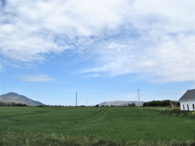
Farmland at Annaville
The hills in the background are, on the left, the Republic's Carlingford Mountains and, on the right, Northern Ireland's Western Mournes.
Loading map... (JavaScript required)
- Grid Square
- J2107, 9 images (more nearby 🔍)
- Photographer
- Eric Jones (more nearby)
- Date Taken
- Thursday, 4 May, 2017 (more nearby)
- Submitted
- Monday, 9 October, 2017
- Subject Location
-
Irish:
 J 212 070 [100m precision]
WGS84: 53:59.9026N 6:9.1157W - Camera Location
-
Irish: J 212 070
- View Direction
- NORTH (about 0 degrees)